|
| The Indian word Nantahala means"land of the midday sun" — an appropriate name
for a forest in which deep mountain gorges and valleys are illuminated only when the noon sun is directly overhead. At 5,800
feet, the Appalachian summit of Lone Bald is the highest point in the forest — it is but one vertebra in the 1,600-mile
spine that stretches from Alabama to Quebec. Cascading waterfalls and mad whitewater rivers give the forest a wild, untamed
atmosphere heightened by primeval oaks, hemlocks, chestnuts, and poplars that reach for the sky.
For centuries, the Cherokee Indians roamed the forest
before European settlers forced them deeper into the hills. In 1838, the U.S. Army escorted most of the tribe to an Indian
reservation in Oklahoma — a mass deportation known as the"Trail of Tears." A few elusive Cherokee remained, but it wasn't
until 1973 that negotiations were finally resolved, permitting them to legally own a portion of the land. A small section
of the Cherokee Indian Reservation is located within the northern boundary of the forest — a larger area is situated
just outside the forest northeast of Bryson City.
|
|
|
|
 |
|
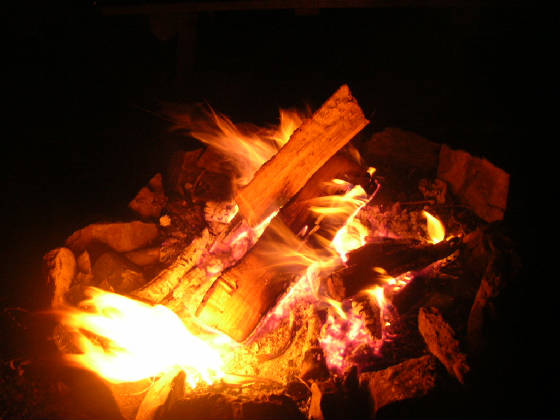
| cozy and warm |
|